Private Utility Locating
Electromagnetic and GPR methods used together to identify private underground infrastructure.
 904-680-8584
Jacksonville & Northeast Florida
Private utility locating for site-owned lines and unknown infrastructure that 811 may not mark. SafeScan combines GPR + EM with clear markings, useful documentation and project-focused field support.
BEFORE YOU EXCAVATE, CORE, BORE OR DESIGN
Field-ready services
From the first sweep to documentation your team can actually use, SafeScan supports the work happening next.
Electromagnetic and GPR methods used together to identify private underground infrastructure.
Non-destructive scanning for utilities, anomalies, voids and subsurface targets.
Survey-grade positions and mapping options that preserve field findings beyond the paint.
Photos, field notes and professional reports built for contractors, engineers and owners.
What we help identify
SafeScan selects locating methods around the site, target material and project purpose. Detectability depends on field conditions, depth, material and access.
811 is the first step—not always the last
811 coordinates markings from participating utility owners. Their responsibility may stop at the meter, service point or property boundary. SafeScan investigates detectable private and site-owned infrastructure within your project area.
Request a Private LocateMore than paint on the ground
SafeScan combines electromagnetic locating and ground penetrating radar with field experience, utility-system knowledge and documentation built around the next phase of your project.
Discuss your project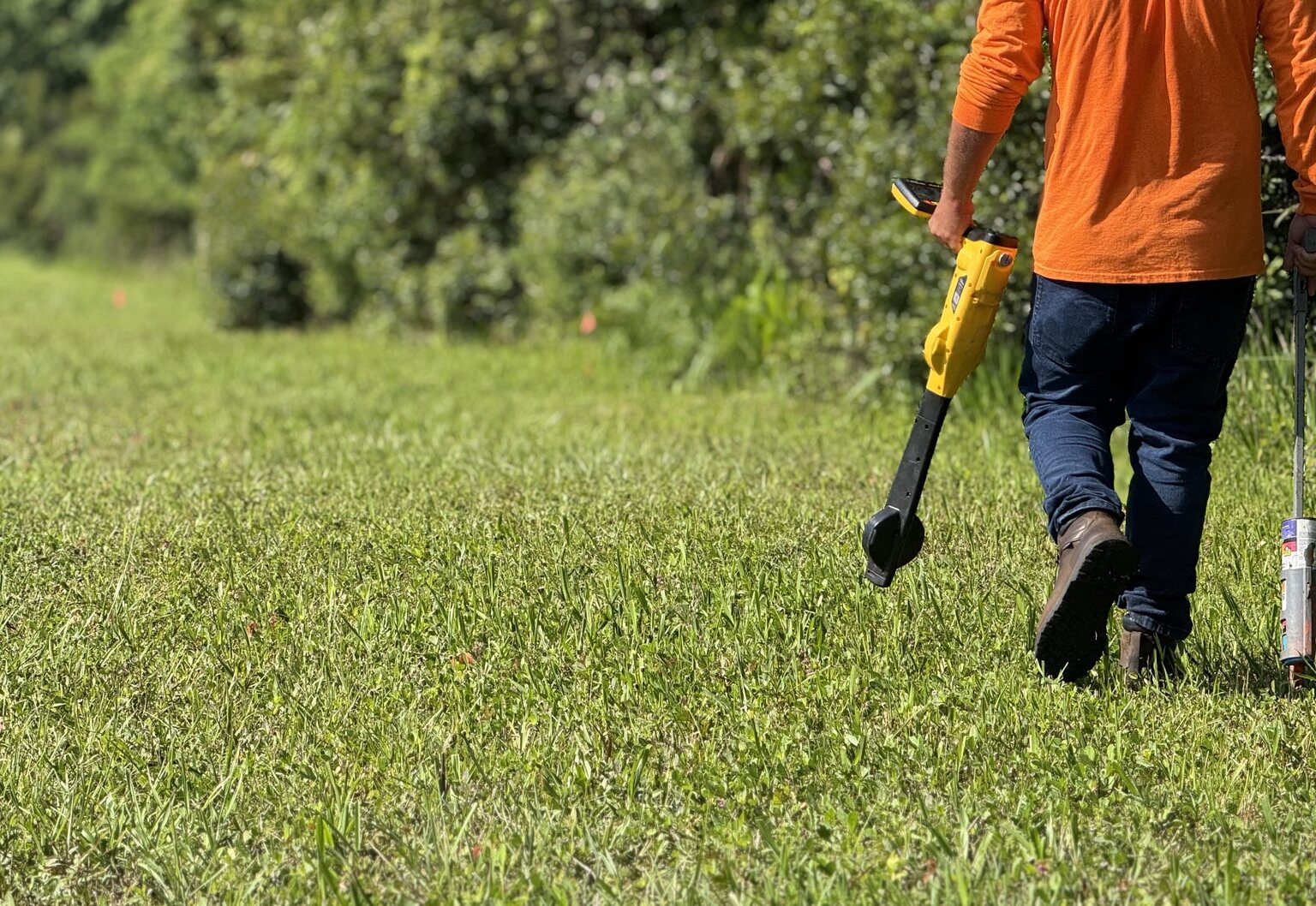
Built for active projects
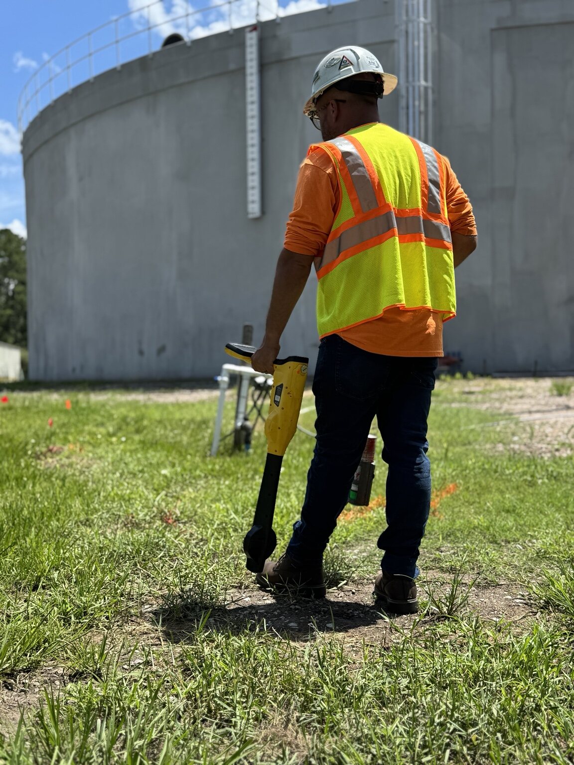
You don't need a generic scan. You need a locating team that understands construction, survey control, utility systems and the consequences of getting it wrong.
A field result your team can use
Commercial construction • Civil engineering • Survey • Municipal • Government
PRIMARY SERVICE AREA
Jacksonville & Northeast FloridaFlorida projects considered by scopeBefore you schedule
No. Contact 811 before excavation as required. SafeScan supplements that process by investigating detectable private, customer-owned and unknown utilities within the project area.
No locating method can guarantee every subsurface target. Results depend on depth, material, soil, congestion, access and site conditions. SafeScan applies appropriate methods and documents findings and limitations clearly.
Send the project address, approximate search area, reason for the locate, known utility information, required deliverable and desired schedule. Plans and marked-up aerials are especially helpful.
Yes. GPS utility mapping, field photos and project-specific documentation are available when included in the scope.
HAVE AN ACTIVE PROJECT?